now south of the Pamunkey
After church five weeks ago (in 1864 time) General George Meade drove some visitors over to Culpeper to see the new Lieutenant General. 150 years ago today the Army of the Potomac had spent almost four weeks of fighting and flanking and slogging its way toward the rebel capital. He at least wrote to his wife that he hoped a grand finale at Richmond might be soon. From The Life and Letters of George Gordon Meade … (page 199):
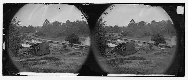
SOUTH SIDE OF PAMUNKEY RIVER, HANOVERTOWN,
HEADQUARTERS ARMY OF THE POTOMAC, 10 A.M., May 29, 1864.
We have crossed the Pamunkey, and are now within eighteen miles of Richmond. Lee has fallen back from the North Anna, and is somewhere between us and Richmond. We shall move forward to-day to feel for him. We are getting on very well, and I am in hopes [we?] will continue to manœuvre till we compel Lee to retire into the defense of Richmond, when the grand decisive fight will come off, which I trust will bring the war to a close, and that it will be victory for us.
General Meade’s tone changed over the next few days. For example, the “grand decisive fight” at Richmond became a “quasi-siege” of Richmond on June 1st.
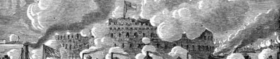
pontoons bridging the Pamunkey – built by 50th NY Engineers May 28, 1864
The following drawing by Edwin Forbes is dated May 29, 1864 and said to be “contrabands escaping” and I think it might say “Hanover Town”:
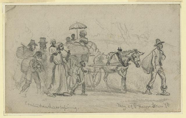
Contrabands escaping
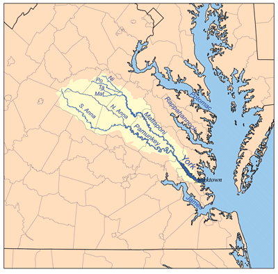
Karl Musser’s map of the York River watershed is licensed by Creative Commons
