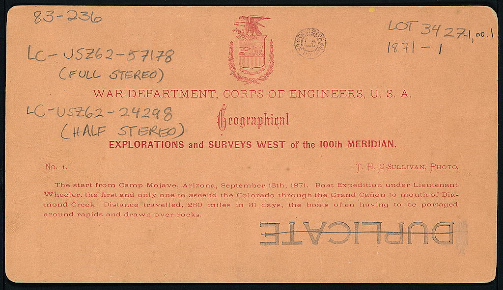
According to documentation at the Library of Congress, an expedition of exploration set out from a camp in Arizona territory 150 years ago today:
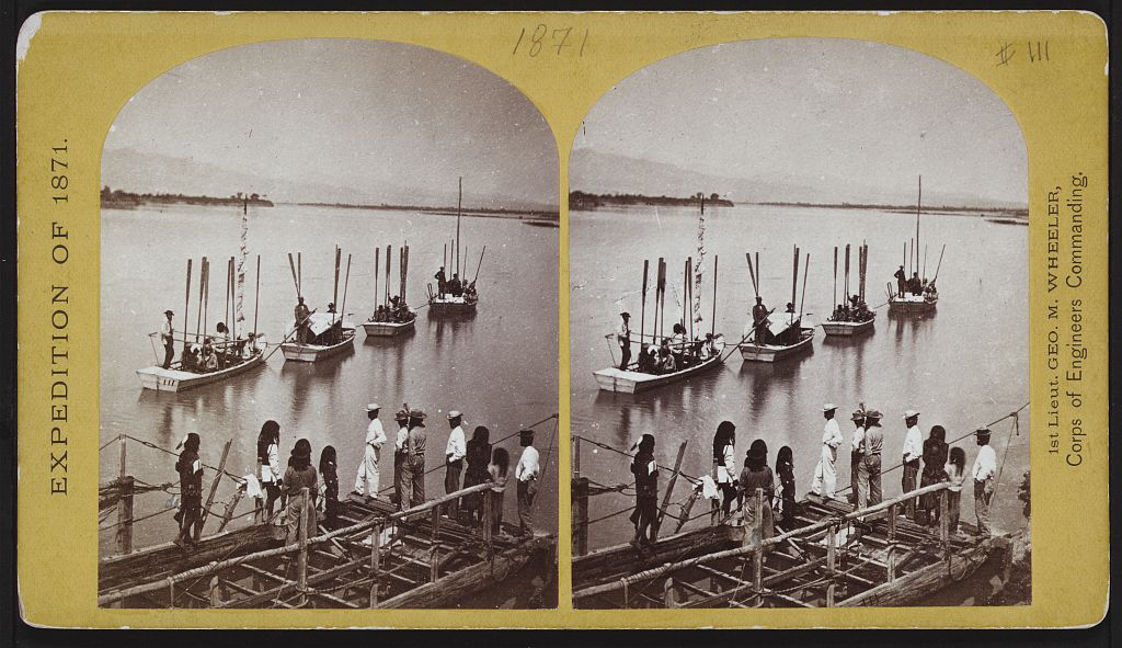
heading out
up the river
In its May 6, 1871 issue Harper’s Weekly provided more information about the expedition:
SCIENTIFIC INTELLIGENCE.
WE have heretofore referred to an expedition under Lieutenant G.M. WHEELER, U.S.A., as among those now fitting out for service in the field; and we now learn that the work is to be prosecuted with the thoroughness that characterizes all the undertakings of the Engineer Department. As already stated, the field in question embraces a large area, and that of a comparatively little known country, south of the Central Pacific Railroad, including portions of southern and southwestern Nevada, southeastern California, southwestern Utah, some of the lower cañons of the Colorado, and extending into eastern and northeastern Arizona, with perhaps some points in New Mexico, and covering an aggregate of about sixty thousand square miles. The primary object of the expedition is, of course, the acquisition of a correct topographical knowledge of the country, and the means of preparing accurate maps, by which military movements can be arranged, and the best positions for settlement determined. The proper sites for military posts will be looked after, and a careful inquiry prosecuted into the character, disposition, and statistics of the Indians inhabiting the country. Of the more purely scientific work of the survey the practical geological and mining resources of the region will receive special attention. The expedition will be accompanied by gentlemen competent to settle these points, and much care will be directed also toward procuring a complete series of the animals and plants; so that, by a combination with the results of the expeditions of Mr. CLARENCE KING, of Captain SITGREAVES, of Lieutenant IVES, of General PARKE, and of the Geological Survey of California, together with the more private explorations of Dr. COUES, U.S.A., Dr. PALMER, and others, a satisfactory knowledge of the whole country can be established. Great attention will be given to the astronomical determinations, and a competent photographer will accompany the expedition. This will probably be divided into two parties-one under the direction of Lieutenant WHEELER himself, and the other under that of Lieutenant D.W. LOCKWOOD. We shall await with great interest the result of the operations of this exploration, which, it is thought, may occupy several years for its completion, but which can not fail, year by year, to bring to light much information concerning this interesting but little known portion of our country. …
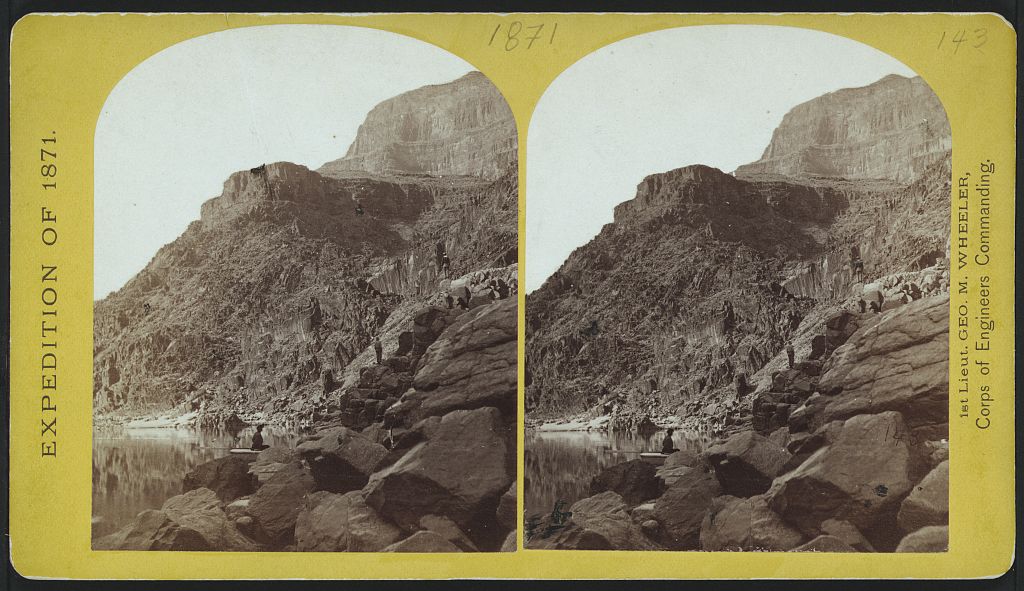
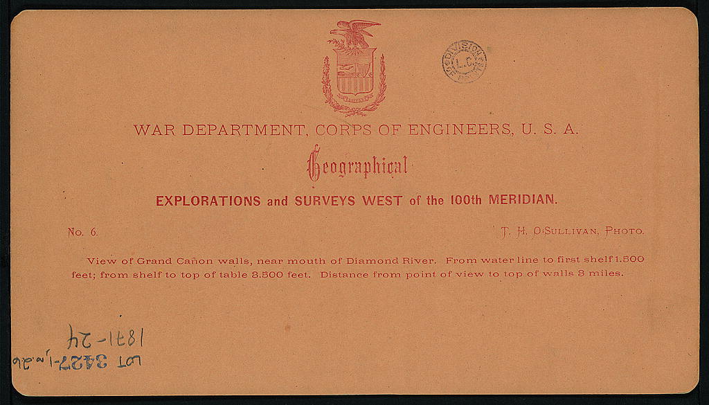
View of Grand Cañon walls, near mouth of Diamond River.
Timothy O’Sullivan – out west
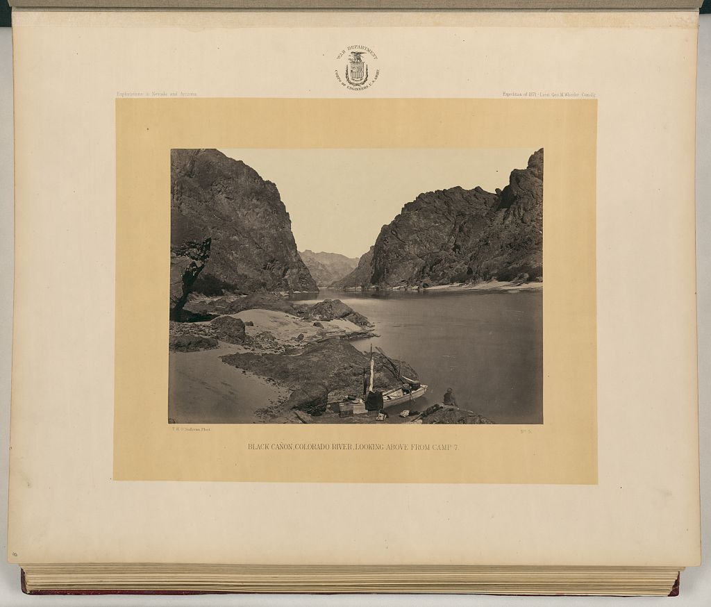
Black Cañon, Colorado River, looking above from Camp 7 / T.H. O’Sullivan, Phot.
_________________________________________
Harper’s was looking at a big picture with kind of a long exposure. The Lorenzo Sitgreaves led a southwest expedition in 1851. During the Civil War he was assigned to several non-fighting jobs. At the end of the war, “He conducted the inspection of the temporary defenses in Kansas and Nebraska from October 25, 1864, to July 1865.”
According to Wikipedia, the Wheeler Survey included a series of expeditions from 1869 until 1879 that explored territory west of the 100th meridian. In 1879 the Wheeler Survey and others became part of the new Geological Survey, later the United States Geological Survey.
One of the competent photographers along on the 1871 expedition was Timothy H. O’Sullivan, who also took photographs of the American Civil War.

expedition leader, later in life
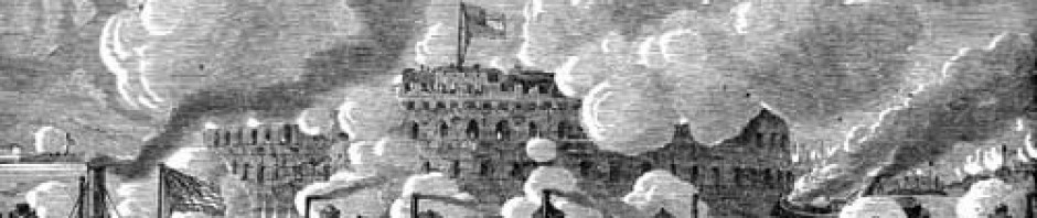
From Wikimedia: Alice Pike Barney’s portrait of circa 1910 of George Montague Wheeler. From Library of Congress: Timothy O’Sullivan’s photo of Grand Cañon walls, near mouth of Diamond River; his photograph of the Colorado running through Black Canyon; one of Timothy O’Sullivan’s pictures from the Civil War – one of the guns at Fort Fisher in January 1865 – broken after the bombardment
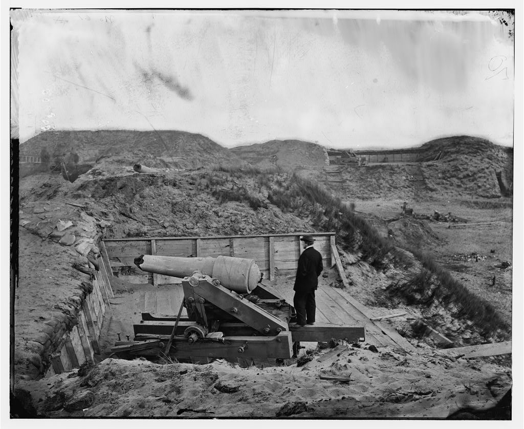
Fort Fisher, N.C. Interior view, with heavy gun broken by the bombardment
